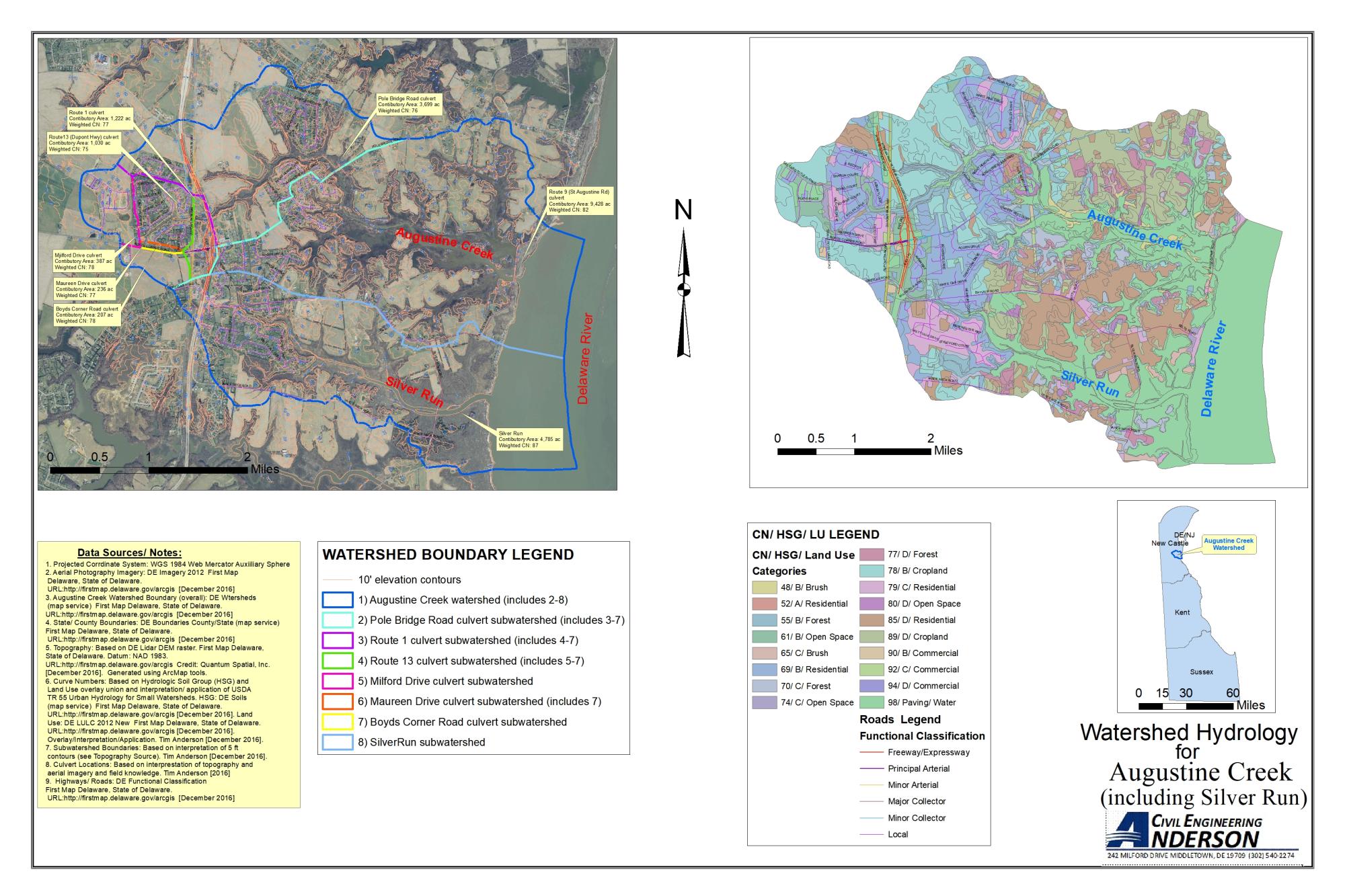
Watershed hydrology mapping can be necessary for development projects for the assessment of stormwater management requirements, floodplain mapping, or stream stability analysis. The watershed hydrology mapping shown above was done for an approximately 14,000 acre watershed using Geographic Informatioin System (GIS) software for the spatial overlay of land uses with soil types. Watershed boundaries were established based on topgraphic features.


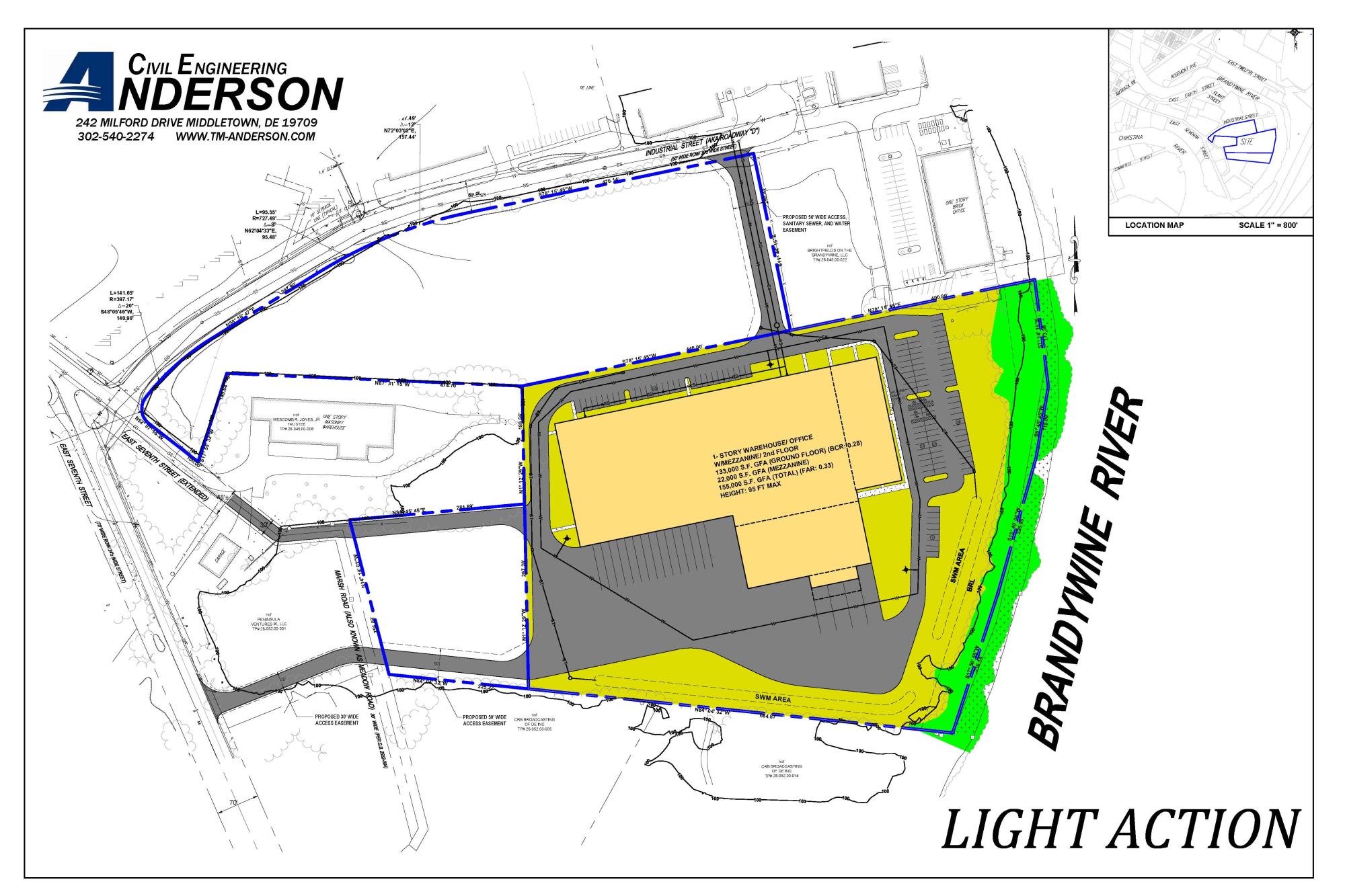
Light Action is a stage equipment and entertainment event production business with a groiwing demand for warehouse and operations space. The development project is a 150,000 square foot building with associated parking and loading, site utilities, and drainage facilities in a developing industrial area within the city of Wilmington, DE. Site improvements included green stormwater management practices, sewer and water utilities, and access in consideration of adjacent future development sites.
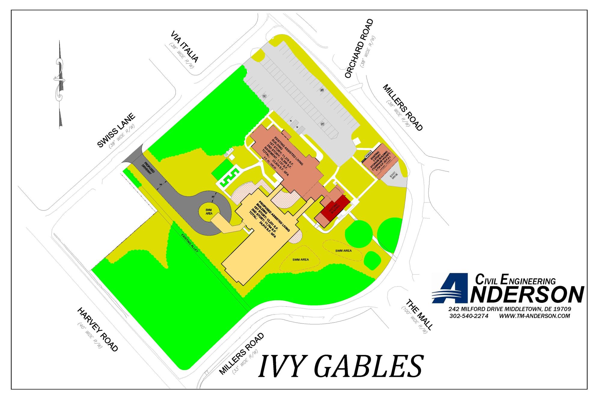
Ivy Gables is an assisted living residential facility in New Castle County, DE and within a long-established and unique residential community. The development project is a 24,000 square foot building expansion to meet the demand for additional residents. The project was implemented within the context sensitive nature of an historic overlay zone and protected environmental resources. Site improvements included green stormwater management practices.

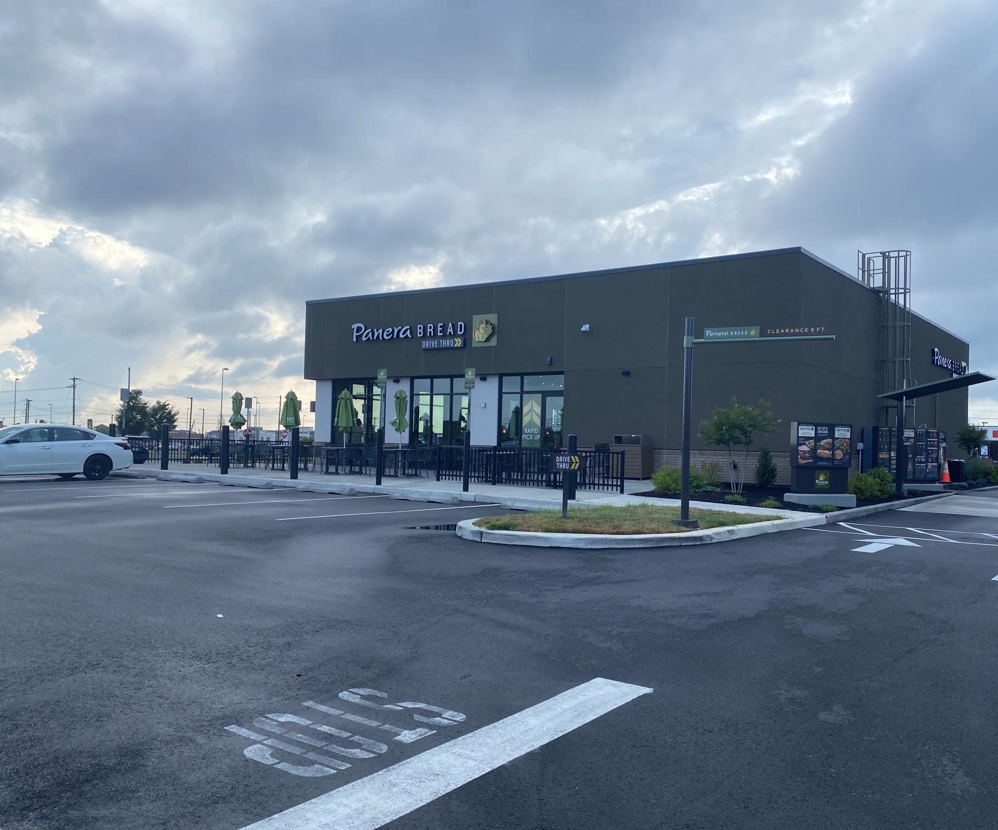
Panera Bread is leading restaurant brand with several thousand locations in the United States and Canada. The Town of Middletown Delaware was excited to have Panera come to this location, which included drive-thru service and outdoor dining within the Middletown Market Place shopping center. The 4,500 square foot building and associated site improvements required the demolition of a previous fast-food building/ site and included access improvements and green stormwater management practices on the 1.5 acre site.


